Ho Chi Minh City Flooding: Tide Dates and Streets by Ward
The highest tide of 2026 is forecast for 27-29 October, 1.70-1.75 m at Phu An station. The tide season runs from the 8th to the 12th lunar month. Tran Xuan Soan, Pham Huu Lau and Huynh Tan Phat streets, in Tan Thuan, Tan My and Phu Thuan wards, are among those named.
On this page
The highest tide of 2026 is forecast for 27-29 October. Two things flood Ho Chi Minh City: high tide on the rivers, and heavy rain on streets that drain badly. Both can happen on the same afternoon.
The tide calendar
The tide season in the south runs from the 8th to the 12th lunar month. The Southern hydrometeorological centre forecast the highest tide of 2026 for the end of October, the tide period after the full moon of the 9th lunar month.
- Phu An station: 1.70-1.75 m on 27-29 October, which is 18-20 of the 9th lunar month.
- Thu Dau Mot station: 1.82-1.87 m on the same days, above alert level 3 by 0.22-0.27 m.
Alert level 1 is a tide of 1.4 m and alert level 3 is 1.6 m. Last year (2025) had 75 days above alert level 1 up to 20 November, with a peak of 1.77 m at Phu An on 6 November.
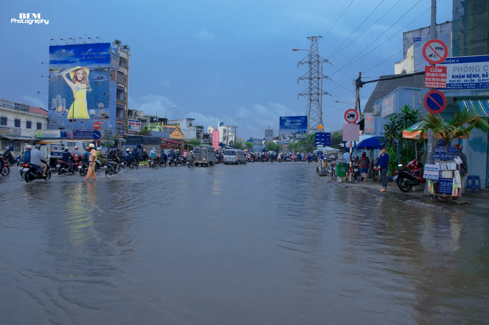
Streets that flood, by ward
Twenty-three places flood regularly when the tide passes the alert level. Twelve are in the old city area and are 0.1-0.3 m deep. The other 11 are in former Binh Duong (8) and former Ba Ria - Vung Tau (3).
For a tide above 1.7 m, these streets sit in these current wards (December 2025).
| Ward or commune | Streets |
|---|---|
| Tan Thuan (former District 7) | Tran Xuan Soan |
| Tan My (former District 7) | Pham Huu Lau |
| Phu Thuan (former District 7) | Huynh Tan Phat |
| Nha Be commune | Le Van Luong, Dao Su Tich, Nguyen Binh |
The old-city list also names Calmette Street, Binh Quoi, National Highway 50, Nguyen Van Huong, Vo Nguyen Giap and Mai Chi Tho, without a ward. Tan Thuan, Tan My and Phu Thuan wards are among the low-lying riverside areas most affected.
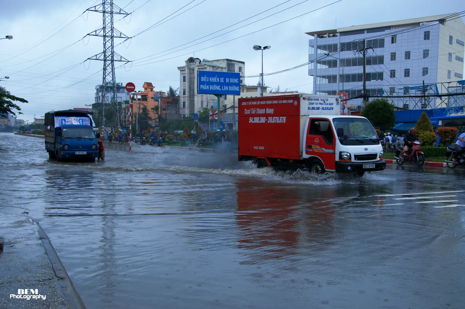
On 6 November 2025, the 2025 peak, people struggled to move along Pham Huu Lau Street in Tan My ward. The same day, many vehicles struggled on Nguyen Luong Bang Street.
The wards and areas the city calls most exposed
These are the areas the Department names as most affected by tides:
- An Khanh, Phuoc Long and Phu Huu wards (former Thu Duc).
- Binh Dong ward (former District 8).
- The Thanh Da area in Binh Quoi ward.
- Communes in the former Nha Be and Binh Chanh districts.
In 2025, from 20 to 25 October, flooding was recorded at these places:
- The Vo Van Kiet - Ho Hoc Lam junction.
- Pham Van Chieu Street.
- The Binh Quoi - Thanh Da road.
- Tran Xuan Soan and Huynh Tan Phat streets.
The Thanh Da peninsula flooded mainly because the land is low against a 1.82 m tide peak.
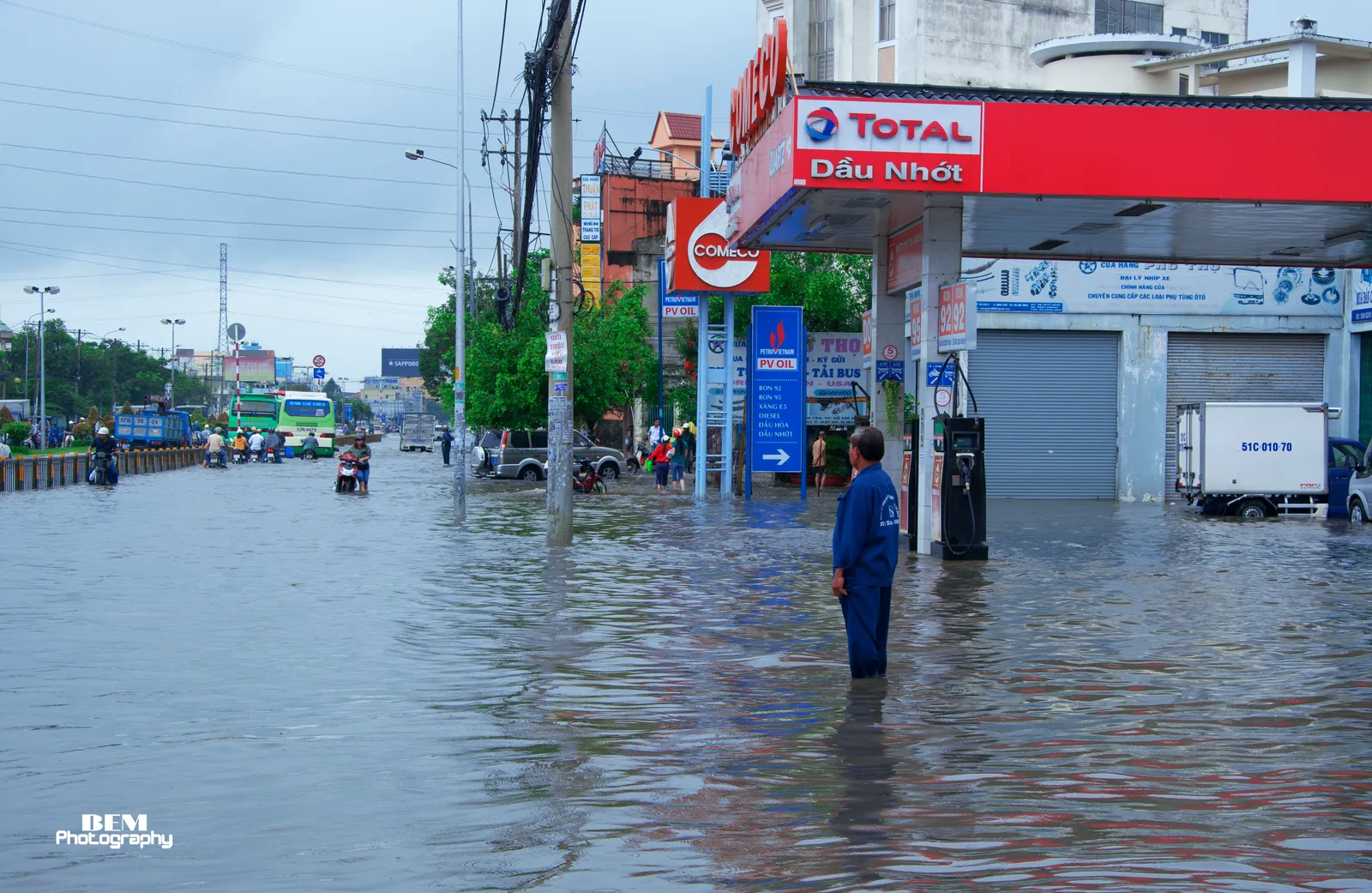
When rain floods the streets
Heavy local rain floods urban areas with poor drainage. Heavy rain in late September 2026 and early October flooded Go Vap, the Thu Duc market area and Thao Dien, with water above one metre in places.
Serious flooding and congestion were also reported at the Hang Xanh roundabout, Ba Son bridge, the city centre and the routes to Tan Son Nhat airport. On the afternoon and evening of 30 September, rain and a high tide left many streets deeply flooded, with fast water and stalled vehicles.
The city puts these 6 areas of frequent heavy flooding first for treatment:
- Thao Dien - Quoc Huong - Nguyen Van Huong.
- The Thu Duc market area.
- Go Vap and Tan Son Nhat airport.
- Nguyen Van Qua Street.

Is the city fixing it
The Department of Construction counts 159 flooded points of all levels, of which 57 flood heavily above 30 cm for more than 1.5 hours. Of the 57, the former Ho Chi Minh City area has 34, Binh Duong 9 and Vung Tau 14.
- The tide project, phase 1, about 10,000 billion dong, is due to start operating in November 2026 and will solve 8 flooded points.
- In 2026 the city expects to finish 9 projects, solving 3 heavy flood points.
- By the end of 2027, 40 of the 57 heavy points are to be solved.
Land is subsiding at an average of 2 cm a year, and 5-7 cm a year in places. The city’s average elevation is only 0.8 m to 1 m above sea level.
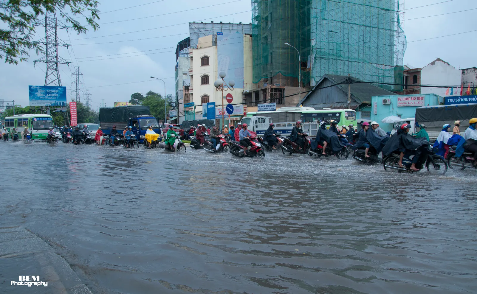
What to do when streets flood
- Follow the rain and tide bulletins, especially in the afternoon and evening.
- Change your travel time or route, and avoid roads that are deeply flooded or have fast water.
- The city told local authorities to keep people and vehicles from deeply flooded areas when it is not safe.
- The city told its 168 wards, communes and special zones to prepare for flooding from heavy rain, tide and flood releases.
- Check your own street before you sign a lease: the lists name streets, not every lane. Open the city’s live flood map. It shows rain gauges, resident reports, cameras and tide stations, and it lets you report flooding with your phone location on.
- For a flooding or drainage incident, call the city hotline 0283 526 7497. The flood map belongs to the Flood Control Steering Center, an agency under the city People’s Committee.
- The Department counts a flood point as heavy at more than 30 cm for over 1.5 hours. Stay off any road with water that deep.
Choosing where to live? See where to live in Ho Chi Minh City, District 2 vs District 7, the Phu My Hung guide and the Thao Dien guide. Before signing, read the rental contract guide.
Step by step
- Watch the bulletinsFollow the rain and tide bulletins, especially in the afternoon and evening.
- Change time or routeChange your travel time or route, and avoid roads that are deeply flooded or have fast water.
- Check the street before rentingOpen the city's live flood map and look for rain gauges, cameras and tide stations near the address.
- Report or callReport flooding on the same page, or call 0283 526 7497.
Not confirmed: Tide peaks after 29 October 2026 are not forecast yet. The official lists name streets, not every lane, so check your lane on the city's live flood map.
Common questions
When is the tide flood season in Ho Chi Minh City?
The tide season in the south runs from the 8th to the 12th lunar month. The highest tide of 2026 is forecast for 27-29 October.
Which streets flood at high tide?
The Department of Construction counts 12 points in the old city area, 0.1-0.3 m deep. They include Calmette, Binh Quoi, Tran Xuan Soan, Huynh Tan Phat, Le Van Luong, Pham Huu Lau and Nguyen Van Huong.
Does Thao Dien flood?
Heavy rain flooded Thao Dien in the last days of September and early October, with water above one metre in places. The city puts Thao Dien - Quoc Huong - Nguyen Van Huong among 6 areas to treat first.
Does District 7 flood?
Tan Thuan, Tan My and Phu Thuan wards (former District 7) are among the riverside, low-lying areas most affected by tides.
How many flooded points does the city have?
The Department of Construction counts 159 flooded points of all levels, of which 57 flood heavily above 30 cm for more than 1.5 hours.
What are tide alert levels?
Alert level 1 starts at 1.4 m and alert level 3 is 1.6 m.
Is the city fixing the flooding?
As of 3 October 2026, a tide project of about 10,000 billion dong is due to start operating in November. By the end of 2027, 40 of the 57 heavy points are to be solved.
Why does the city flood?
The Department of Construction points to climate change, unusual tides and land subsidence. The city's average elevation is only 0.8 m to 1 m above sea level.
Read next
General information checked against the sources listed above, not legal advice for your situation. Rules and office practice change; confirm with the immigration office or a licensed adviser before you act. See how guides are checked.
Spotted an error? Report it.